Now if you're REALLY interested in doing the detailed research, Prof. Nick Zentner of Central Washington University has a comprehensive set of geology lectures and field trips posted for free on YouTube.
Otherwise, here's the weekend highlights in a nutshell…
CHUMSTICK FORMATION: Sandstones and conglomerates deposited 50-42 Mya by the prehistoric Chumstick River, that once flowed westward from Wenatchee to the Bellingham basin. Alluvial evidence supports the hypothesis that the direction of the river reversed as the modern Cascades formed in this timeframe.
A great place to see the Chumstick Formation is at Peshastin Pinnacles State Park.
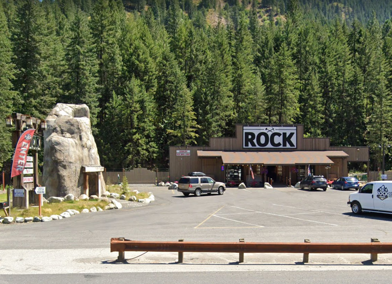
TEANAWAY BASALTS: Flood basalts predating the Columbia River flood basalts, from roughly 50 Mya, believed to be related to tectonic plate fracturing due the accretion of Siletzia. Feeder dikes can be observed at many places along along US 97, including in the parking lot of the Rock House Café at milepost 178. Red Top Lookout and surrounding peaks are blanketed with Teanaway basalt.
SWAUK FORMATION: Sedimentary formation thousands of feet thick, containing metamorphosized erosional deposits and some plant fossils, deposited over tens of millions of years, prior to about 50 Mya. The Swauk formation was folded and deformed by the same tectonic forces from the accretion of Siletzia that eventually allowed the Teanaway Basalt feeder dikes to rupture. Fossils may be found at an outcrop near the top of the Old Blewett Highway, a scenic detour off the main road.
INGALLS TECTONIC COMPLEX: 'Exotic terrane' bedrock so-called because it is believed to have formed somewhere else, subsequently transported by plate tectonics and accreted to North America more 100 Mya. Contains ancient sedimentary seafloor deposits of argellite and serpentenite, relatively uncommon in Washington State. The hike starts off as an easy gradual incline for several miles, with optional distance suitable to any fitness level. To reach the trailhead, turn on the access road west from US 97 at the Rock House Café.
Here's a Google Earth geological map of the area, courtesy Washington State DNR and modified by yours truly, showing the above formations color-coded. Pull it up full-screen to see the details, including our base camp at Wright By The River.
Notable in the upper left is the Mount Stuart batholith, a huge, almost-continuous intrusion of granite, believed to be the magma chamber of an ancient volcano dating from about 100 Mya.
In the lower right is Grande Ronde Basalt, the largest of several vast Columbia River basalt flows, originating from feeder dikes near La Grande, Oregon, and dating from about about 16 Mya.


No comments:
Post a Comment